
Geographical Information System (GIS)
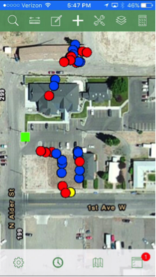
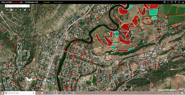
AMCD implements a geographical information system (GIS) using industry standard software known as ArcGIS by ESRI. The mosquito mapping software that overlies the ArcGIS platform is FieldSeeker GIS.
The GIS system provides AMCD the ability to map, record, and evaluate abatement activities. Field crews use iPads connected to the GIS system to identify and monitor known areas of concern. Inspection and treatment data is recorded real-time into the iPads and is uploaded into the main database. This allows other field crews and management to track and evaluate daily abatement activities.
The GIS system enables the best field crew and public communication in daily prevention and mosquito control activities.
Gis map

Gis map
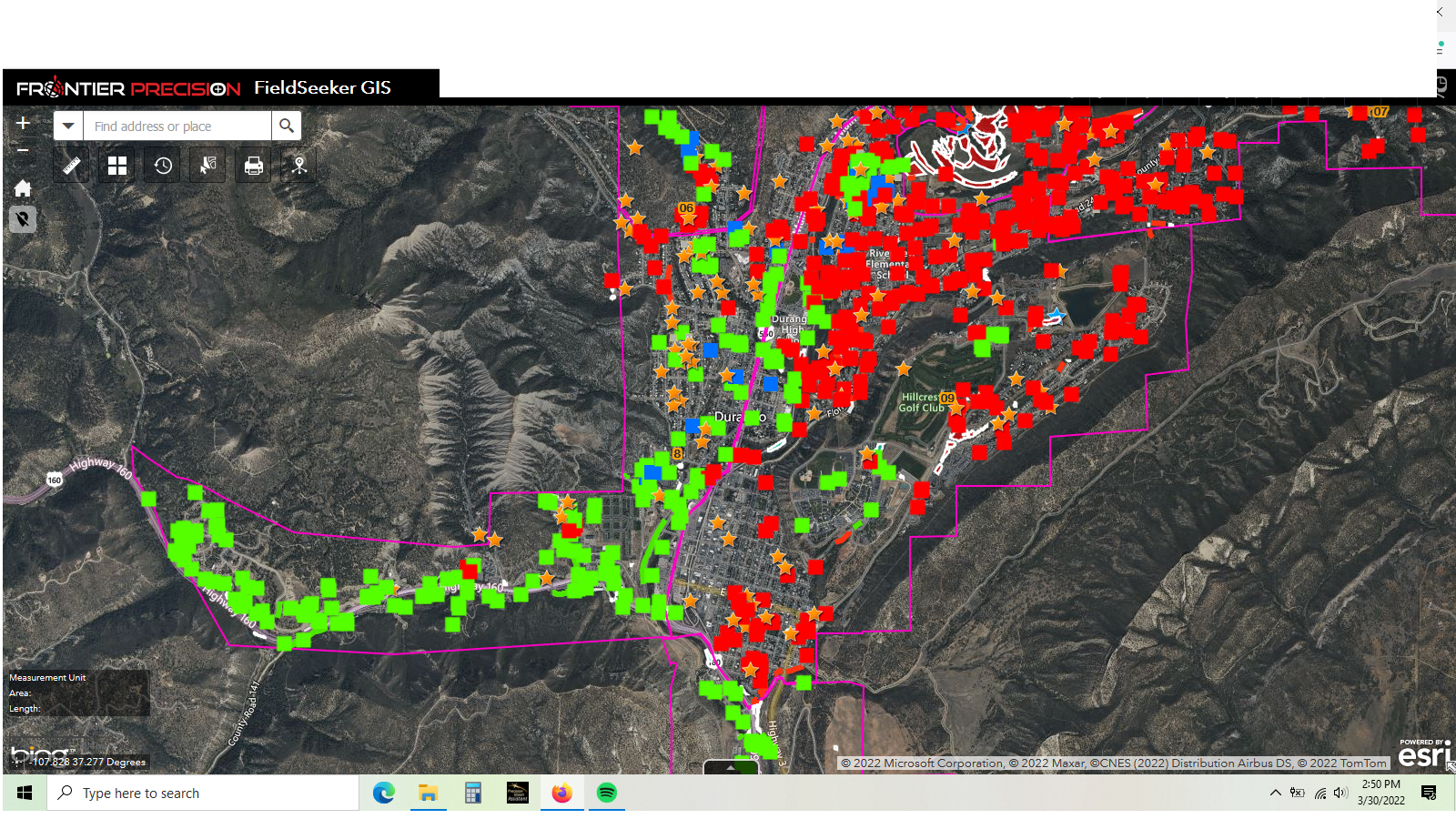
Gis map